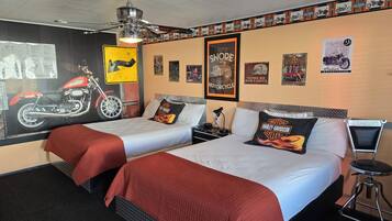
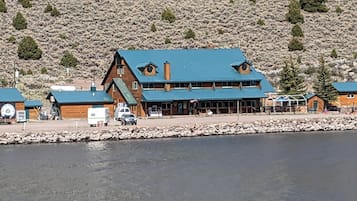
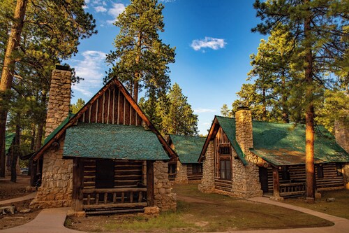
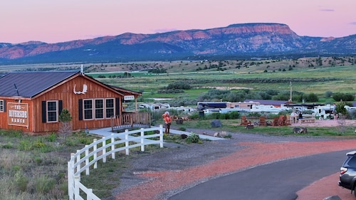
Things to do near Alton
Shopping
In Alton, visit local shops for unique gifts and souvenirs, showcasing regional crafts and products. If you're up for a drive, check out the nearby town of Kanab, about 19.3km away, where you can find a mix of boutiques and specialty stores for a broader shopping experience.
Recreation
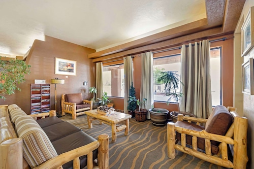
Experience the serene atmosphere at the Alton Wellness Centre, where you can indulge in rejuvenating spa treatments and yoga classes amidst picturesque surroundings. For outdoor recreation, explore nearby hiking trails, offering stunning views of the landscape and a chance to connect with nature.
Adventure
Thunder Mountain Motorsports offers a thrilling motor racing experience located 43.5km from Alton. Feel the adrenaline as you navigate the rugged terrain, with options for both novice and experienced racers to enjoy the excitement of speed in a stunning landscape.
Nightlife
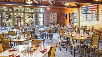
For a memorable night in Alton, explore the local taverns where you can enjoy a relaxed atmosphere and live music. Check out the nearby eateries for a casual bite and unwind with friends under the starlit sky, soaking up the charming small-town vibe.
*Distances are measured in a straight line; actual driving distances may vary depending on the route.


 Calendar Month
 Temperature
 Precipitation
 Cloudiness
 Occupancy
 Pricing
