List your propertySupportTrips Learn about Expedia Rewards
Members save 10% or more on over 100,000 hotels worldwide when you’re signed in


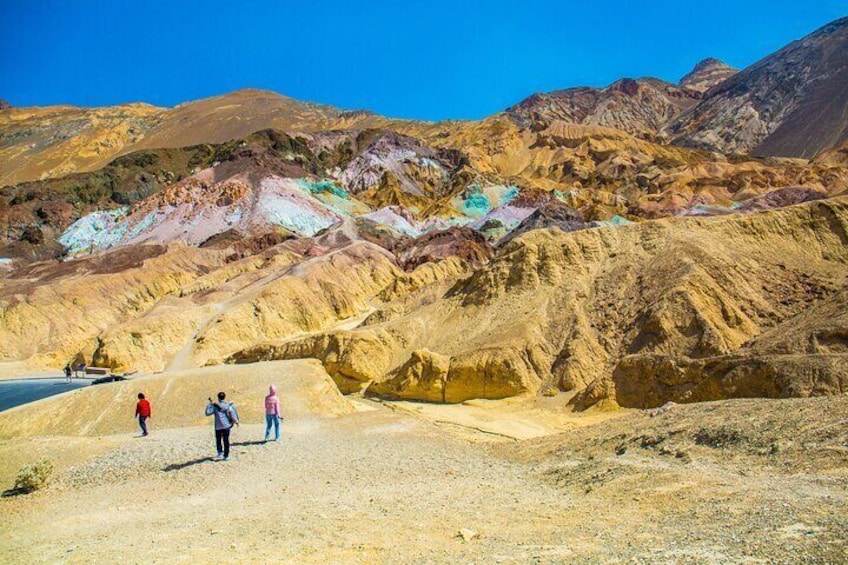
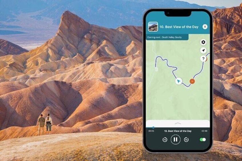
Death Valley National Park Audio Guided Driving Tour
By Shaka Guide Tour Apps
Free cancellation available
Features
Overview
Activity location
Meeting/Redemption Point
Multiple meeting/redemption points available, see location information for full list
Check availability
Death Valley National Park Audio Guided Driving Tour in English
Language options: English
Price details
NZ$16.20 x 1 TravellerNZ$16.20
Total
What's included, what's not
Know before you book
- Wheelchair accessible
- Service animals allowed
- Suitable for all physical fitness levels
Activity itinerary
Location
Activity location
Meeting/Redemption Point
Best Deals on Things to Do
Experience the wonders of the world up close with great deals on things to do near and far. Expedia offers one-of-a-kind activities that allow you to explore National Park your way. Whether you love nature, culture, food or a bit of adventure, we have the perfect activity for you.
Top experiences in National Park
With so many activities in National Park, planning the perfect day out may seem like a daunting task. Expedia is here to take the hassle out of finding the best attractions, tours and activities in National Park. Families, couples and business travellers can all find the perfect activity in National Park to create life-long memories with the help of Expedia.